
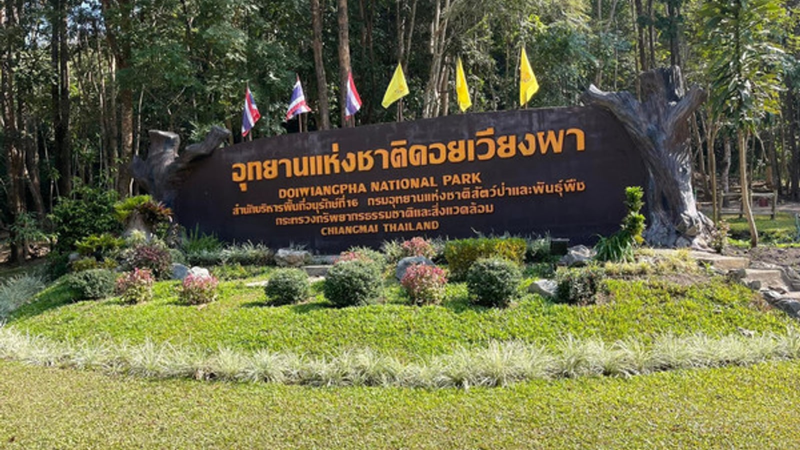
Doi Wiang Pha National Park covers about 583 square kilometres across Chai Prakan and Fang districts in Chiang Mai province. Its forest rises to a listed peak of 1,834 metres, with viewpoints, cool-season flowers, wildlife habitat and Huai Sai Khao waterfall near the headquarters.
This is a mountain park, not a casual roadside viewpoint. Road, trail and weather conditions can change, and some routes may require local guidance or prior permission. Contact park staff on 053 317 535 before making a long journey, especially in the rainy or fire season.
Choose the right season
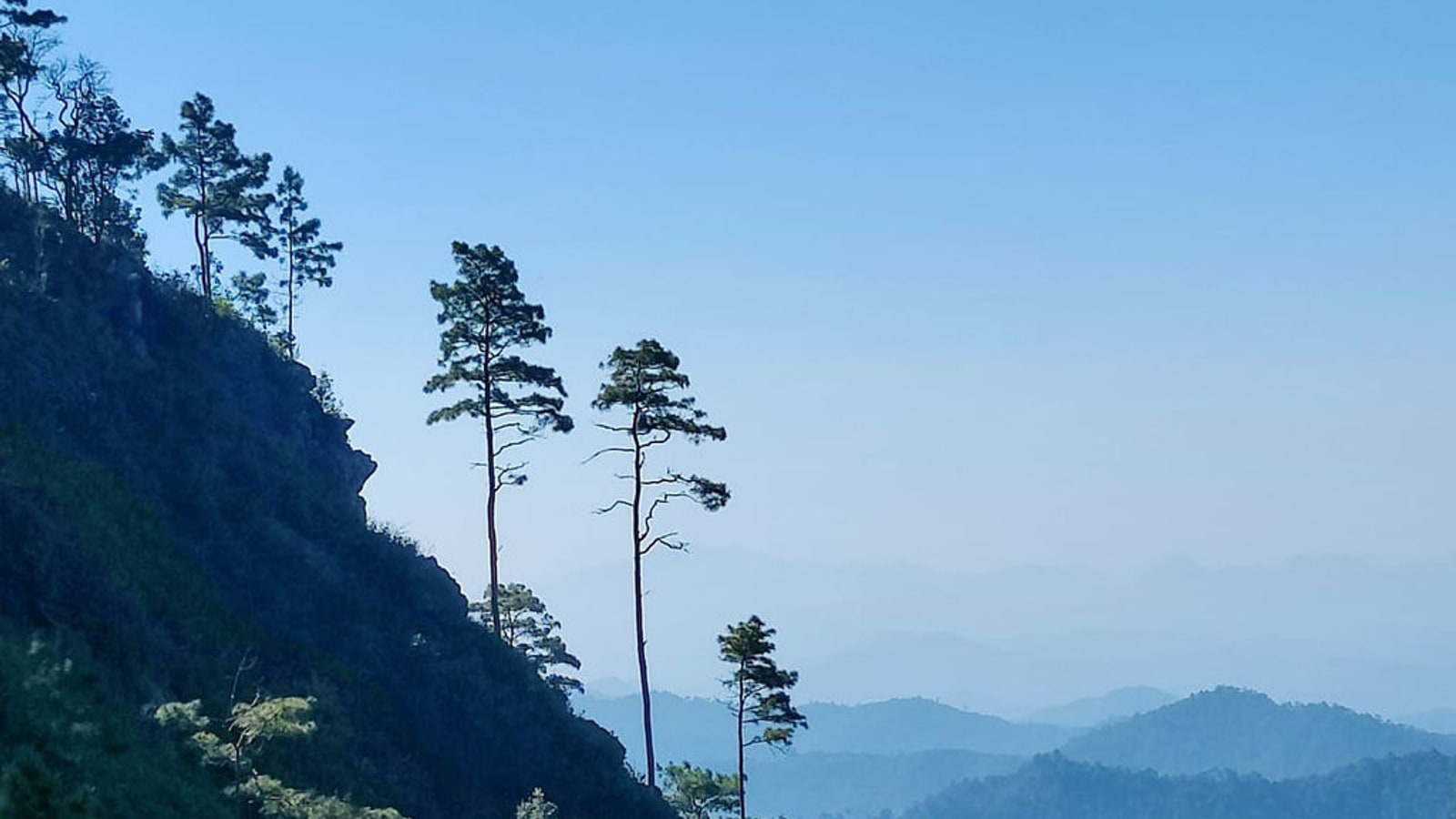
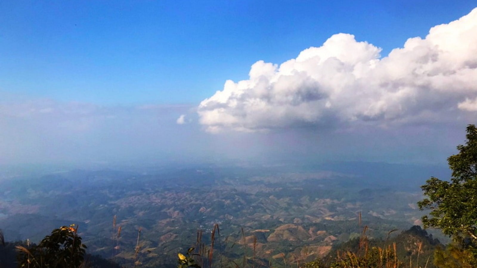
Cooler months can bring clearer walking conditions, sea-of-mist views and flowering azaleas or white roses. Mornings may feel genuinely cold at elevation, while the afternoon sun remains strong. Pack layers rather than relying on one heavy item.
Rain increases waterfall flow but also makes paths, stream crossings and roads more hazardous. The dry season can bring heat, haze and fire restrictions. Check the forecast and park announcements, not only Chiang Mai city weather.
Start at headquarters
Report to staff, ask which routes are open and describe your group’s experience. Collect a map or clear route explanation, record closing times and find out whether a guide is needed. Do not assume a track shown online remains accessible.
Huai Sai Khao waterfall lies near the headquarters and can be a manageable first stop, depending on conditions. Even a short waterfall path needs grip, water and care on wet rock. Follow barriers and never jump into unfamiliar pools.
Prepare for hiking
Wear supportive shoes and carry water, food, sun protection, insect repellent and a small first-aid kit. Download offline maps, but treat them as backup rather than authority. Battery life drops faster when phones search for a weak signal.
Tell someone your route and return time. Keep the group together and turn around early if clouds build, daylight shortens or a member struggles. Reaching a viewpoint is optional; returning safely is the day’s non-negotiable result.
Respect the forest
The park contains hill evergreen and mixed deciduous forest among other habitats, supporting a range of wildlife. Observe animals from a distance, keep food secure and never feed them. Quiet walkers see more than groups playing music.
Carry every piece of rubbish out, including tissues and fruit peel. Stay on existing paths to protect vegetation and reduce erosion. Avoid collecting flowers, stones or plants, however abundant they appear.
Drive from Chiang Mai
The tourism route places the park roughly 125km from Chiang Mai via Highway 107, with a turn near Si Dong Yen School and about 12km onward to headquarters. Travel time depends heavily on mountain traffic and the final road.
Use a suitable vehicle, start with enough fuel and avoid driving unfamiliar roads after dark. Save the Thai park name and phone number. If hiring a driver, confirm that waiting time and the unpaved or steep approach are included.
Use public transport carefully
The listed route uses buses or minibuses from Chang Phueak transport area toward Ban Tha Market, followed by chartered local transport. Timetables and the last return connection can change, so verify them locally before leaving Chiang Mai.
Agree on the local vehicle price, pickup time and exact meeting point. A one-way drop without a confirmed return can leave visitors stranded outside ride-hailing coverage. Groups may find a private car more predictable.
Stay overnight
The park information lists bungalows, but availability, booking method and facilities need confirmation. Ask about bedding, electricity, food, drinking water and check-in deadlines. Bring cash in case digital payment is unreliable.
An overnight stay makes an early viewpoint easier, yet it adds temperature and meal planning. Keep noise low, secure food and follow staff instructions. If accommodation is unavailable, base in Chai Prakan or Fang and arrange an early transfer.
Watch mountain conditions
Mist can erase landmarks, and a clear ridge can become wet or windy within minutes. Carry a light waterproof layer even when the valley forecast looks settled. If thunder is near, leave exposed viewpoints and follow ranger instructions.
Heat remains a risk in cool-looking forest. Drink regularly, recognise headache or unusual fatigue, and do not wait for a companion to become seriously unwell. A slower pace preserves both safety and the chance to notice birds, plants and changing forest.
Keep exploring
Continue with related TFT coverage, browse more Thailand guides and compare the latest TFT recommendations.
Common questions
How high is Doi Wiang Pha?
The park’s highest listed point is about 1,834 metres above sea level.
Is there a waterfall?
Yes. Huai Sai Khao waterfall is listed near the park headquarters, subject to current access conditions.
Can I visit by public transport?
A bus or minibus can reach Ban Tha Market, but the final leg requires locally arranged transport and careful return planning.