
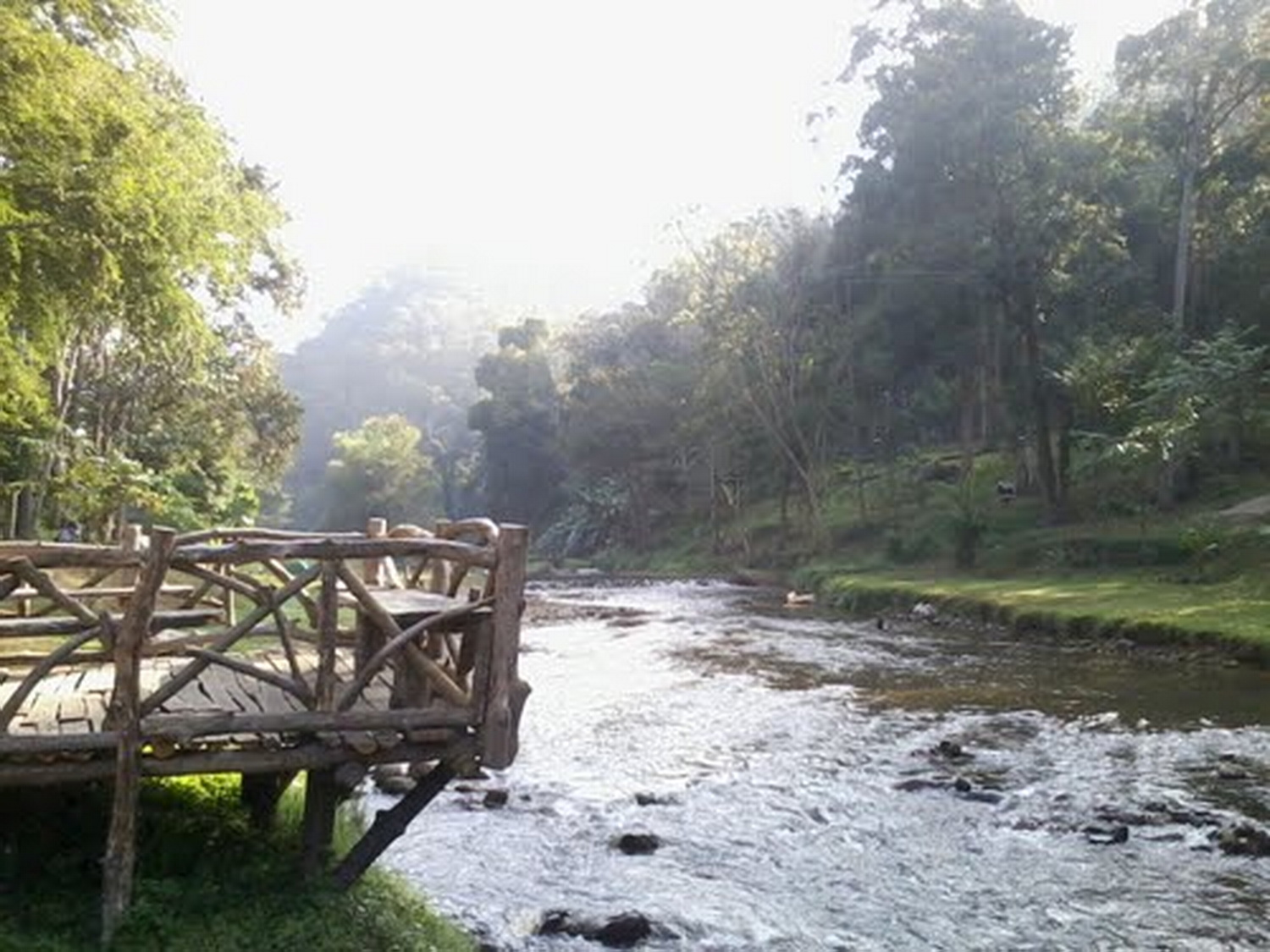
Mae Takhrai National Park spreads across mountainous parts of Chiang Mai and Lamphun, with elevations from roughly 400 to 2,030 metres. The reservoir near headquarters offers the easiest introduction, while waterfalls, campsites and the Doi Lanka area demand progressively more time, transport and fitness.
This is not a single-viewpoint stop. Roads and trails change with rain, maintenance and seasonal management, so the safest plan is to call the park shortly before departure and choose a route that matches the latest access information.
Reservoir loop
The headquarters area sits beside Mae Takhrai Reservoir, surrounded by mixed deciduous and bamboo forest. A nature route of about three kilometres circles the water and provides a manageable half-day option for visitors who do not want a remote mountain trek.
Start early for cooler air and quieter paths. Carry water even on the shorter loop, because shade and humidity vary, and do not rely on a kiosk being open at every hour.
Waterfall choices
Namtok Mae Takhrai lies about six kilometres from the park office and is the more accessible waterfall target. Vegetation changes through the year, with mushrooms, wildflowers and forest textures becoming part of the walk after rain.
Namtok Tat Moei is farther away and involves a rough, steep gravel approach followed by walking through dry evergreen forest. Road suitability depends on weather and vehicle, so ask staff whether the route is open before committing.
Doi Lanka challenge
Doi Lanka, also called Phu Lanka Luang, rises to about 2,030 metres. The summit area has open grassland and seasonal rhododendrons, but reaching it requires a drive towards the trail area and a demanding walk of roughly 12 kilometres.
Treat this as a serious mountain outing. Arrange local guidance where required, start with enough daylight, carry layers and food, and turn back if weather or pace threatens a safe return.
Camping by the water
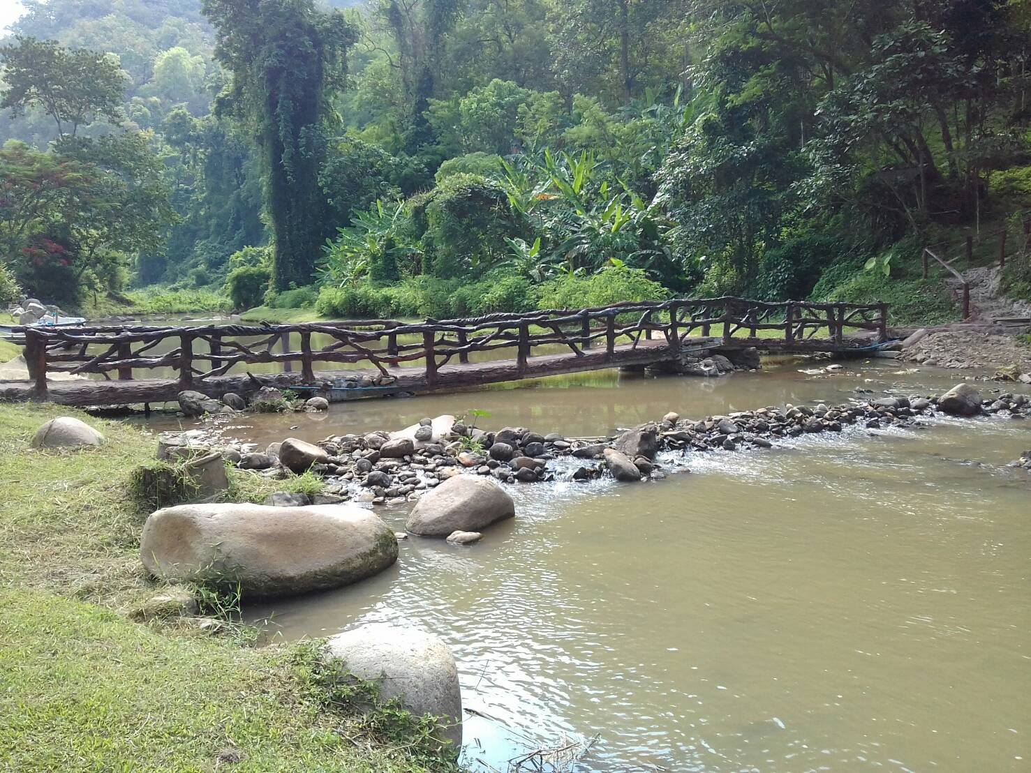
Camping areas near the reservoir offer a simple forest stay with breezes coming off the water. Confirm reservation rules, tent availability, cooking restrictions, toilets and quiet hours directly with the park.
Pack for damp ground and temperature change rather than judging conditions from Chiang Mai city. Keep food secured, remove all rubbish and avoid feeding wildlife around the campsite.
Season and weather
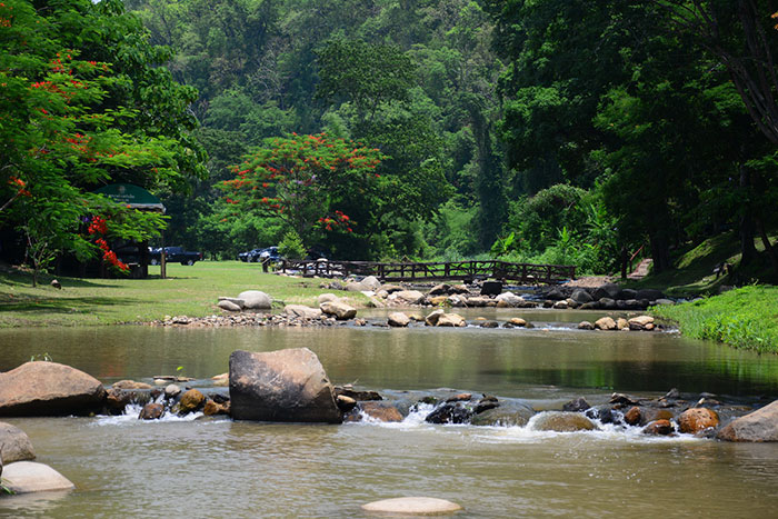
The rainy season makes streams and waterfalls more impressive but also increases slippery surfaces, leeches, road damage and closure risk. The cool season is comfortable for camping, while high sections can feel much colder before sunrise.
Northern smoke can affect views and breathing late in the dry season. Check air quality and fire restrictions, and postpone strenuous activity when conditions are poor.
Transport planning
Mae Takhrai is in the Doi Saket and Mae On side of Chiang Mai rather than beside the old city. A private vehicle is the most flexible option, but the more remote roads may require higher clearance or local transport.
Download maps before leaving mobile coverage and share the route with someone outside the group. A fuelled vehicle, spare water and a conservative turnaround time matter more than adding one more viewpoint.
Trail safety
Build the route around daylight, water and the least experienced walker. Even a modest forest path can take longer after rain, and a group that separates creates avoidable risk. Agree on a turnaround time before starting and keep everyone within voice range at junctions.
Carry a small first-aid kit, charged phone, offline map, insect protection and a dry layer. Trekking poles help on slick descents, while sandals are a poor choice beyond developed picnic areas. Tell park staff which route you intend to use when heading away from headquarters.
If thunder, fast-rising water or damaged track appears, retreat rather than trying to preserve the plan. Waterfall pools and stream crossings can change rapidly upstream. The best trip is one that leaves enough margin to return safely, report any hazards and visit another route on a better day.
Responsible access
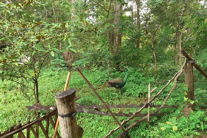
Stay on established paths where they exist, especially near water and fragile slopes. Shortcuts widen erosion and can lead later walkers into unsafe ground. Keep noise low around wildlife and leave plants, mushrooms and natural objects where they are.
Wash mud from footwear before and after the trip when moving between protected areas. This simple habit reduces the chance of carrying seeds or pathogens. Use refillable water containers, pack out every wrapper and leave campsites cleaner than you found them.
Practical Information
Contact Mae Takhrai National Park before travel for opening status, current fees, camping arrangements, trail guidance and vehicle advice. The Tourism Authority listing provides park contact numbers and the Doi Saket location.
Wear grippy footwear, carry sun and rain protection, and keep the route within the group’s slowest safe pace. Remote waterfalls and Doi Lanka should not be attempted on assumptions from an old trip report.
Keep exploring
Continue with related TFT coverage, browse more Thailand guides and compare the latest TFT recommendations.
Common questions
Is there an easy walk?
The roughly three-kilometre reservoir nature route is the most approachable option, subject to current park conditions.
Can I hike Doi Lanka independently?
Check with park staff first. The long mountain route may require current access advice and local guidance.