
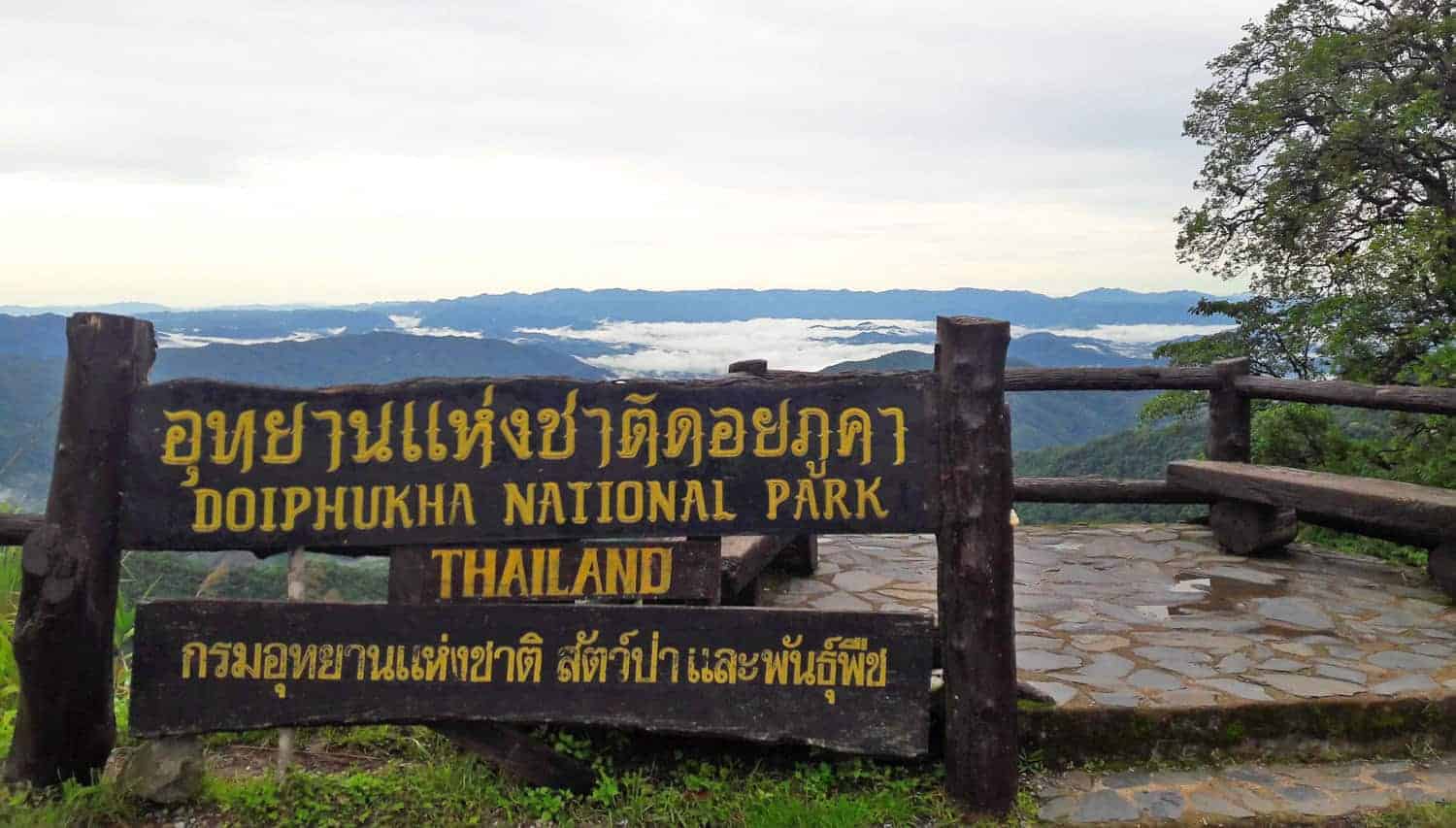
Doi Phu Kha National Park spreads across eight districts of Nan and protects about 1,704 square kilometres of mountain forest. Its rare Chomphu Phu Kha tree, viewpoints, caves, waterfalls and high routes make the park much more than a quick roadside stop between Pua and Bo Kluea.
Rainy season turns the forest intensely green, but it also brings cloud, falling branches, wet bends and temporary access decisions. Current park notices should decide the route. Do not copy an old closure calendar or assume every trail and waterfall is open because the headquarters road remains passable.
Start At Headquarters
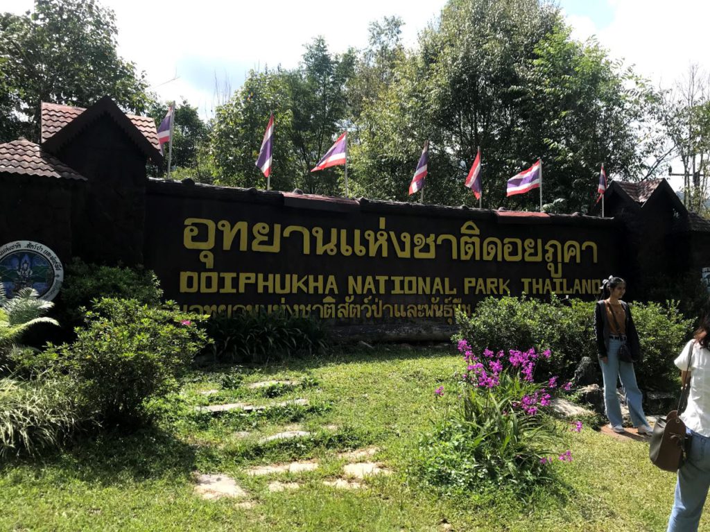
Stop for current weather, attraction access and campsite information before committing to a side road or trail. Photograph the park map and emergency numbers. Staff knowledge on the day is more useful than a saved social post, especially after overnight rain or road maintenance.
Drive In Daylight
The Pua and Bo Kluea approaches climb through repeated bends with changing visibility. Use a roadworthy vehicle, sound tyres and low gears on descents. Leave room behind motorcycles and never overtake into cloud. A shorter daylight route is better than finishing a scenic loop exhausted after dark.
Read The Weather
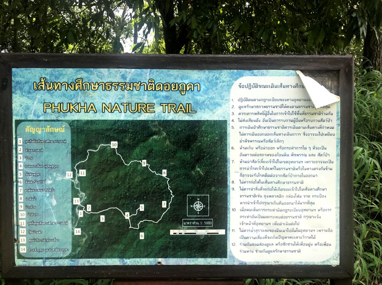
Mountain rain can be local and sudden. Turn around when water crosses the road, visibility collapses or debris begins to fall. Do not park beneath an unstable slope. Check both Nan forecasts and park updates, then leave flexibility for a cafe, village or town day when conditions close in.
Choose Open Trails
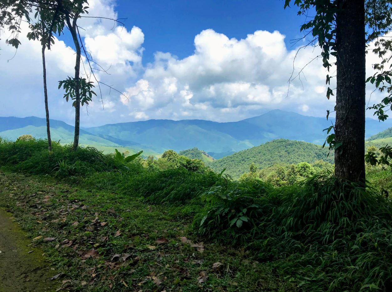
Ask which nature trails are open and whether a guide is required. A closed sign protects both visitors and a waterlogged environment. Wear grippy shoes, carry water and keep electronics dry. Leeches, mud and slippery roots are normal green-season considerations, not reasons to leave the marked line.
Treat Water Carefully
Waterfalls can look impressive while becoming less safe. Stay behind barriers, avoid the lip and do not enter fast or discoloured water. Rain upstream can raise flow without warning at the viewpoint. Children need an adult within reach, not supervision from a camera position.
Camp Conservatively
Reserve only through the accepted park route and ask what bedding, food and power are available. Nights can be cool and damp. Keep food secured, use designated cooking areas and lower noise early. A private tent does not permit rubbish, bright lights or access beyond a closure.
Pack For The Mountain
Bring a warm layer, rain shell, dry socks, torch, insect repellent and basic first aid even when Nan town feels hot. Keep drinking water and snacks within reach rather than buried under luggage. A paper bag or spare container prevents wet footwear from making the return drive uncomfortable and distracting.
Fuel Before Climbing
Do not assume the next village has the fuel grade, charging point or tyre help a vehicle needs. Start the mountain section with a comfortable range and check pressure while tyres are cool. Share the route and expected arrival with accommodation, particularly when travelling with one vehicle and limited Thai language.
Respect Rare Habitat
Chomphu Phu Kha is a rare species associated with this mountain system, but flowering is seasonal and never guaranteed. Stay on trails, do not touch blooms or collect plant material. The forest is the attraction even when the famous pink flowers are absent.
Link Pua And Bo Kluea
The mountain road can connect Pua with Bo Kluea, but distance alone understates driving time. Choose fuel stops and accommodation before departure, download maps and tell the hotel the expected arrival. Do not build a same-day loop around multiple remote attractions with no delay margin.
Leave No Trace
Carry out packaging, avoid single-use campsite supplies and use toilets before entering sensitive areas. Do not feed wildlife or fly a drone without permission. A responsible visit leaves the viewpoint quiet, the road safe and the forest exactly where it belongs.
Keep Planning
Continue with Travel, Deals, Culture on The Finest Thai.
Questions
Is Doi Phu Kha open in rainy season?
Main access may operate while individual attractions close; check the current park notice.
Can I drive the loop in one day?
It is possible in good conditions, but a slower overnight route is safer and more rewarding.
Do I need a guide?
Some trails may require one; ask headquarters before setting out.
Will I see Chomphu Phu Kha flowers?
Only in the appropriate flowering period and natural conditions.
Practical Information
- Province: Nan, northern Thailand.
- Area: About 1,704 square kilometres across eight districts.
- Highlights: Mountain viewpoints, rare Chomphu Phu Kha, caves, waterfalls and camping.
- Rainy-season rule: Check same-day park notices and accept closures.
- Park information: Review the Department of National Parks listing
- Map: Open in Google Maps