
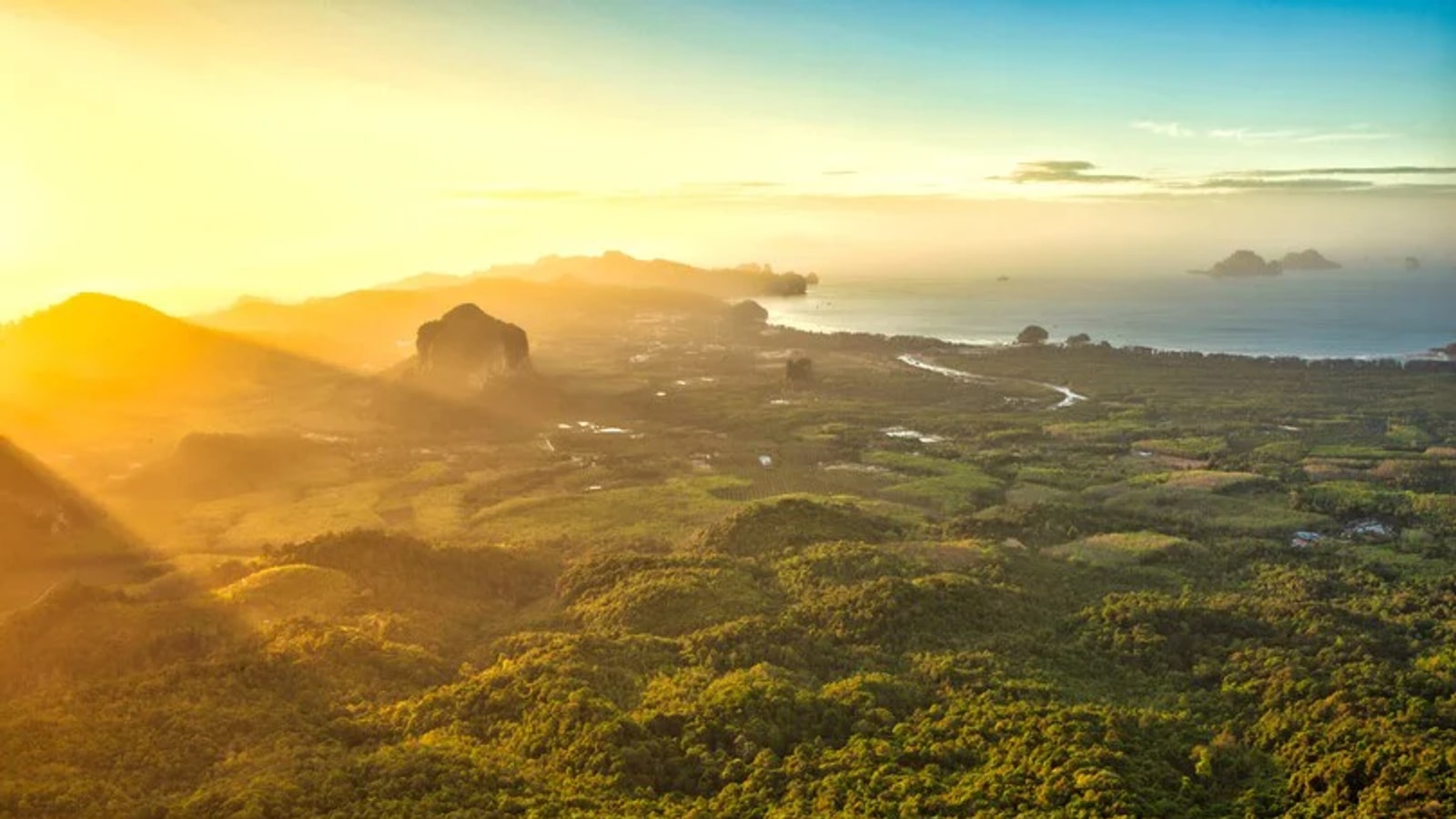
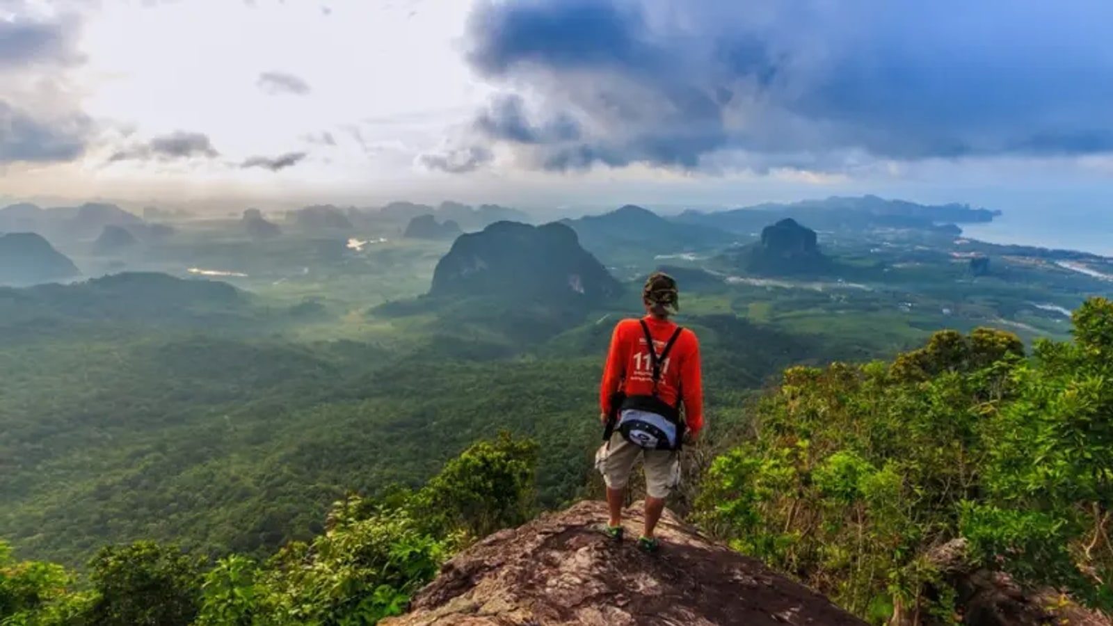
Khao Ngon Nak, often called Dragon Crest Mountain, rises behind Tub Kaek Beach in Krabi. The nature trail runs about 3.7 kilometres each way and climbs through humid forest to viewpoints over limestone hills, green valleys and the Andaman coast.
The distance looks modest on paper, but heat, roots, rock and sustained elevation make it a real hike. Start early, register with the ranger team, carry enough water and preserve energy for the descent rather than spending everything on the climb.
Know the effort
Allow roughly two hours for the ascent if conditions are good and your pace is steady, then additional time for viewpoints and the return. Faster hikers should still avoid treating the trail like a timed race.
Humidity raises the effort beyond what the distance suggests. If you have been inactive, use the preceding days for gentle walking and stairs, then turn around early if heat, dizziness or pain changes the risk.
Start early
An early start offers cooler air, more time before the entry cut-off and a larger margin for the descent. Trail access and daily capacity can change with weather, park operations and conservation needs.
Confirm current entry timing with the local ranger or tourism channel before setting out. Do not rely on an old blog schedule, and respect a closure even when the sky near your hotel appears clear.
Reach the trailhead
The entrance is near Tub Kaek Beach and the national-park office area north-west of central Krabi. A private car, taxi or arranged hotel transfer is usually simpler than expecting a frequent public service.
Agree on return transport in advance if the driver will not wait. Mobile coverage and ride availability may be less reliable near the trailhead than in Ao Nang, especially late in the afternoon.
Carry the basics
Bring water, a small snack, sun protection, insect repellent and a charged phone. A light rain layer and a dry bag for electronics help when tropical weather changes quickly.
There are no reasons to carry a heavy expedition pack for a day hike, but there are also no reliable shops on the trail. Take what you need and pack out every wrapper, bottle and tissue.
Wear proper shoes
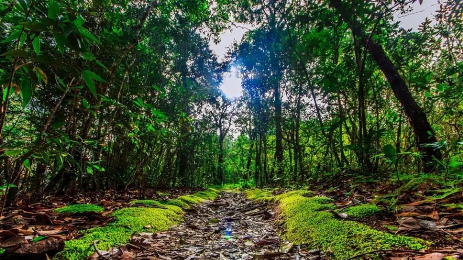
Use walking or trail shoes with grip. Roots, loose soil and rock can become slippery after rain, and the descent places more demand on control than the uphill section may suggest.
Sandals and smooth city trainers reduce traction. Trekking poles can help some walkers on the descent, but place them carefully around other hikers and do not rely on poles to compensate for exhausted legs.
Pace the climb
Begin slower than feels necessary. Short, regular water breaks protect momentum better than one long stop after overheating. Let faster hikers pass where the path widens rather than stepping onto fragile vegetation.
Use landmarks and time, not only the promise of the summit, to manage effort. If weather deteriorates or the group is moving too slowly to descend comfortably before closure, turning back is the correct hiking decision.
Respect viewpoints
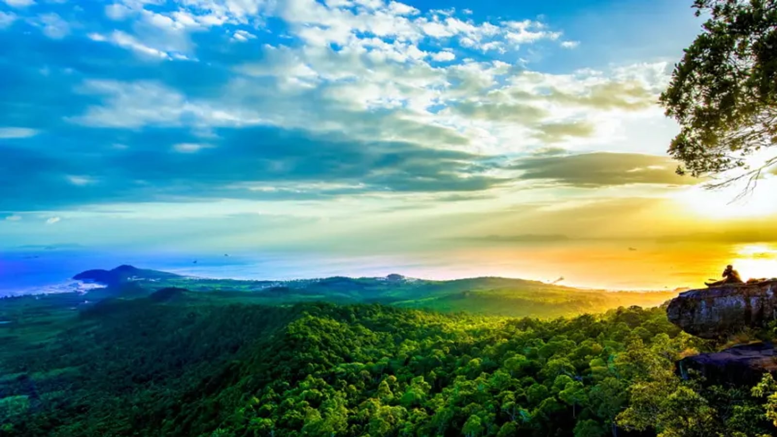
The panorama is the reward, but exposed rocks and edges demand attention. Stay within ranger guidance, keep back from drop-offs and avoid risky poses that trade safety for a photograph.
Give other hikers space to enjoy the view. Drones, loud speakers and off-trail scrambling can disturb wildlife and visitors, and may be restricted. Ask before flying any device in protected land.
Descend carefully
Fatigue makes the return more accident-prone. Shorten your stride on steep sections, maintain distance from the person ahead and use stable roots or rock only after testing the surface.
Sign out if the ranger system requires it. Back at the trailhead, cool down, replace fluids and check for blisters or bites before a long drive. The hike is complete only when the entire group is safely off the mountain.
Do not plan the trail immediately before a flight or a long self-drive if the timing leaves no margin for weather or a slower member of the group. A relaxed afternoon near Tub Kaek is a better follow-up. It gives everyone time to eat, rehydrate and notice any ankle or knee discomfort before committing to the next transfer.
Independent hikers should tell someone where they are going and when they expect to return. Groups should agree that nobody separates without communicating. If an injury occurs, stop, assess the situation and contact the ranger team rather than pushing a struggling hiker down the trail at an unsafe pace.
Keep exploring
Continue with related TFT coverage, browse more Thailand guides and compare the latest TFT recommendations.
Common questions
How long is the trail?
The route is about 3.7 kilometres each way. Allow several hours for the climb, viewpoints and descent.
Do I need to confirm access?
Yes. Entry timing, capacity and closures can change, so check with the ranger team before travelling.